

File:Ceredigion UK location map.svg

Original file (SVG file, nominally 1,425 × 1,192 pixels, file size: 799 KB)

| This is a file from the Wikimedia Commons. Information from its description page there is shown below. Commons is a freely licensed media file repository. You can help. |
| Description |
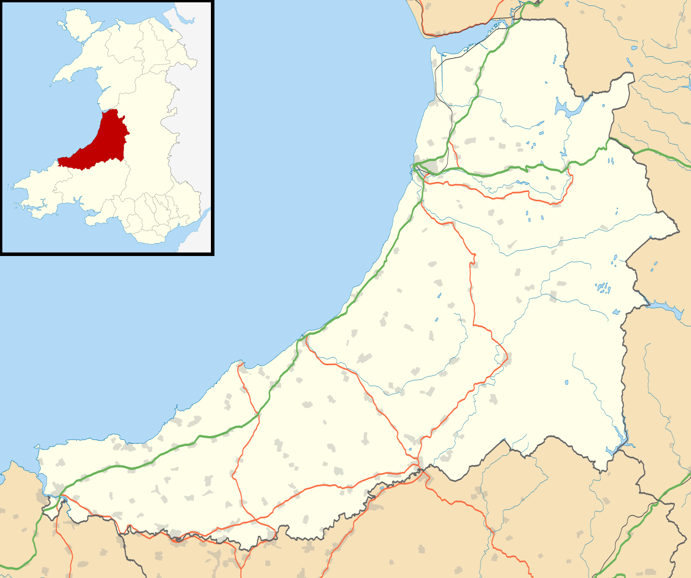
Blank map of Ceredigion, UK with the following information shown:
Equirectangular map projection on WGS 84 datum, with N/S stretched 160% Geographic limits:
|
| Date | |
| Source |
|
| Author | Nilfanion, created using Ordnance Survey data |
| Permission (Reusing this file) |
This file is licensed under the Creative Commons Attribution-Share Alike 3.0 Unported license. Attribution: Contains Ordnance Survey data © Crown copyright and database right
|
| Other versions | File:Ceredigion UK map.svg - Blank map |
File history
Click on a date/time to view the file as it appeared at that time.

| Date/Time | Thumbnail | Dimensions | User | Comment | |
|---|---|---|---|---|---|
| current | 19:31, 26 September 2010 | | 1,425 × 1,192 (799 KB) | Nilfanion | {{Information |Description=Blank map of Ceredigion, UK with the following information shown: *Administrative borders *Coastline, lakes and rivers *Roads and railways *Urban areas Equirectangular map projection on WGS 84 datum, with N/S s |
File usage
More than 100 pages use this file. The following list shows the first 100 pages that use this file only. A full list is available.

- Aberaeron
- Abermagwr
- Aberporth
- Aberystwyth
- Aberystwyth Arts Centre
- Adpar
- Alltyblacca
- Betws Ifan
- Beulah, Ceredigion
- Blaenplwyf transmitting station
- Blaenrheidol
- Bont Goch
- Bontnewydd, Ceredigion
- Borth
- Bow Street, Ceredigion
- Bow Street railway station
- Bremia (fort)
- Capel Dewi, Faenor
- Capel Dewi, Llandysul
- Cardigan, Ceredigion
- Cardigan and District Community Hospital
- Ceredigion
- Ceredigion Museum
- Chancery, Ceredigion
- Ciliau Aeron
- Comins Coch
- Cribyn
- Cwmystwyth
- Daren
- Devil's Bridge, Ceredigion
- Faenor, Ceredigion
- Furnace, Ceredigion
- Gilfachrheda
- Glandyfi
- Glynarthen
- Gorsgoch
- Gwbert
- Hafod Uchtryd
- Harbourmaster Hotel
- Internal Fire Museum of Power
- Lampeter
- List of Roman-to-modern scheduled monuments in Ceredigion
- List of Sites of Special Scientific Interest in Ceredigion
- List of monastic houses in Wales
- List of prehistoric scheduled monuments in Ceredigion
- Llanarth, Ceredigion
- Llanbadarn Fawr, Ceredigion
- Llanddewi Brefi
- Llandre
- Llandyfriog transmitting station
- Llandygwydd
- Llandysul
- Llanfair Clydogau
- Llanfarian
- Llanfihangel y Creuddyn
- Llangeitho
- Llangoedmor
- Llangorwen
- Llangrannog
- Llangwyryfon
- Llangybi, Ceredigion
- Llangynfelyn
- Llanon
- Llechryd
- Lledrod
- Mwnt
- Nantcwnlle
- New Quay
- Parc-llyn
- Pen-y-garn, Ceredigion
- Penbryn
- Penparcau
- Penrhyn-coch
- Penuwch
- Pont-rhyd-y-groes
- Pontrhydfendigaid
- Pontsiân
- Rhydlewis
- Rhydowen
- Rhydypennau, Ceredigion
- Sarn Gynfelyn
- Silian, Ceredigion
- Soar y mynydd
- St Michael's Church, Tremain
- Swyddffynnon
- Taigwynion
- Tal-y-bont, Ceredigion
- Talgarreg
- Trawscoed fort
- Trawsgoed
- Tre-Taliesin
- Tregaron
- Tregaron Hospital
- Troed y Rhiw
- Wallog
- Y Ferwig
- Ynyslas
- Ysbyty Ystwyth
- Ystrad Meurig
- User:Piggery Poke/sandbox
View more links to this file.

Global file usage
The following other wikis use this file:

- Usage on ar.Wik.ipedia.Pro.org
- Usage on azb.Wik.ipedia.Pro.org
- Usage on ceb.Wik.ipedia.Pro.org
- Usage on cy.Wik.ipedia.Pro.org
- Usage on da.Wik.ipedia.Pro.org
- Usage on eo.Wik.ipedia.Pro.org
- Usage on es.Wik.ipedia.Pro.org
- Cardigan (Gales)
- Aberystwyth
- Wikiproyecto:Ilustración/Taller de Cartografía/Realizaciones/Europa
- Plantilla:Mapa de localización de Ceredigion
- Henfynyw
- Llechryd
- Llanrhystud
- Aberporth
- Llanon
- Llanilar
- Pontrhydfendigaid
- Penrhyn-coch
- Llandysul
- Llandre
- Llanbadarn Fawr
- Tal-y-bont
- Penrhiw-llan
- New Quay
- Ystrad Aeron
- Llanarth
- Tregaron
- Bow Street
- Borth
- Usage on fa.Wik.ipedia.Pro.org
- Usage on fr.Wik.ipedia.Pro.org
- Usage on gv.Wik.ipedia.Pro.org
- Usage on ja.Wik.ipedia.Pro.org
- Usage on kn.Wik.ipedia.Pro.org
- Usage on nl.Wik.ipedia.Pro.org
- Usage on pl.Wik.ipedia.Pro.org
View more global usage of this file.

Metadata
This file contains additional information, probably added from the digital camera or scanner used to create or digitize it.

If the file has been modified from its original state, some details may not fully reflect the modified file.

| Width | 1425 |
|---|---|
| Height | 1192 |
See what we do next...
OR
By submitting your email or phone number, you're giving mschf permission to send you email and/or recurring marketing texts. Data rates may apply. Text stop to cancel, help for help.
Success: You're subscribed now !