

File:Ibaraki-ken géolocalisation relief.svg

Size of this PNG preview of this SVG file: 412 × 599 pixels. Other resolutions: 165 × 240 pixels | 330 × 480 pixels | 528 × 768 pixels | 704 × 1,024 pixels | 1,408 × 2,048 pixels | 1,720 × 2,502 pixels.
Original file (SVG file, nominally 1,720 × 2,502 pixels, file size: 2.78 MB)

| This is a file from the Wikimedia Commons. Information from its description page there is shown below. Commons is a freely licensed media file repository. You can help. |
Summary
| Camera location | | View this and other nearby images on: OpenStreetMap |
|---|
| Description |
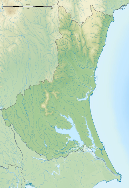
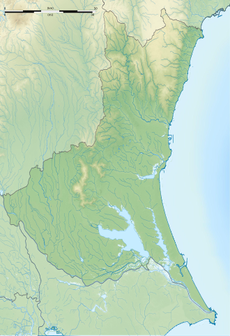
Français : Carte topographique vierge de la Préfecture d'Ibaraki, au Japon, destinée à la géolocalisation.
Deutsch: Topographische Karte der Präfektur Ibaraki.
English: Topographic blank map of the Ibaraki Prefecture, for geolocalisation purpose.
Español: Mapa topográfico de la Prefectura de Ibaraki.
Italiano: Mappa topografica della Prefettura di Ibaraki.
日本語: 茨城県の地図.
Português: Carta topográfica de la província de Ibaraki.
|
||
| Date | (UTC) | ||
| Source |
Création personnelle ;
|
||
| Author | © Bourrichon (talk) - fr:Bourrichon | ||
| Permission (Reusing this file) |
|
||
| Other versions | File:Ibaraki-ken géolocalisation.svg |


|
This SVG file contains embedded text that can be translated into your language, using any capable SVG editor, text editor or the SVG Translate tool. For more information see: About translating SVG files. |
This W3C-unspecified vector image was created with Inkscape .
Licensing
I, the copyright holder of this work, hereby publish it under the following license:
This file is licensed under the Creative Commons Attribution-Share Alike 2.0 France license.
Attribution: Bourrichon (atelier graphique)
- You are free:
- to share – to copy, distribute and transmit the work
- to remix – to adapt the work
- Under the following conditions:
- attribution – You must give appropriate credit, provide a link to the license, and indicate if changes were made. You may do so in any reasonable manner, but not in any way that suggests the licensor endorses you or your use.
- share alike – If you remix, transform, or build upon the material, you must distribute your contributions under the same or compatible license as the original.

File history
Click on a date/time to view the file as it appeared at that time.

| Date/Time | Thumbnail | Dimensions | User | Comment | |
|---|---|---|---|---|---|
| current | 16:06, 8 July 2013 | | 1,720 × 2,502 (2.78 MB) | Bourrichon | == {{int:filedesc}} == {{Location|36|00|00|N|140|00|00|E|scale:10000}} {{Information |Description= {{fr|Carte topographique vierge de la fr:Préfecture d'Ibaraki, au Japon, destinée à la géolocalisation.}} {{de|Topographische Ka... |
File usage
The following 54 pages use this file:

- Acom International
- Adastria Mito Arena
- Atagoyama Kofun (Mito)
- Chōjayama Kanga ruins
- Daihō Castle
- Daiwatari Kanga ruins
- Fudoyatsu-ike Dam
- Fujiigawa Dam
- Fukuoka Dam
- Fukuroda Falls
- Funazukayama Kofun
- Gozenyama Dam
- Heiwa PGM Championship
- Hirasawa Kanga ruins
- Hirohata Shell Mound
- Hitachi Kokubun-ji
- Hitachi Kokufu
- Iida Dam
- Isohama Kofun Cluster
- Izumisakashita Site
- Japan Golf Tour Championship
- Kairaku-en
- Kamitakatsu Shell Mound
- Kasama Castle
- Kawaratsuka Kiln
- Kirin Open
- Koga Castle
- Konda Kanga ruins
- Kozogawa Dam
- Kōdōkan (Mito)
- Lake Senba
- Makabe Castle
- Mawatari Haniwa Production Site
- Minamishiio Choseichi Dam
- Minowa-ike Dam
- Mito Castle
- Mito Tokugawa clan cemetery
- Niihari Gunga ruins
- Niihari temple ruins
- Nikkei Cup
- Obata Kitayama Haniwa Production Site
- Oda Castle
- Okadaira Shell Mound
- Seizansō
- Seki Castle (Chikusei)
- The Championship by Lexus
- Torazuka Kofun
- Tsuchiura Castle
- Yoshida Kofun
- Yūki temple ruins
- Ōgushi Shell Mound
- User:Ty654/List of earthquakes from 2005-2009 exceeding magnitude 6+
- Module:Location map/data/Japan Ibaraki Prefecture
- Module:Location map/data/Japan Ibaraki Prefecture/doc
Global file usage
The following other wikis use this file:

- Usage on ar.Wik.ipedia.Pro.org
- Usage on ceb.Wik.ipedia.Pro.org
- Usage on ce.Wik.ipedia.Pro.org
- Usage on de.Wik.ipedia.Pro.org
- Usage on es.Wik.ipedia.Pro.org
- Usage on fa.Wik.ipedia.Pro.org
- Usage on fr.Wik.ipedia.Pro.org
- Mito
- Hitachiōmiya
- Tōkai (Ibaraki)
- Chikusei
- Tsukuba
- Centrale nucléaire de Tōkai
- Ishioka
- Lac Kasumigaura
- Mont Tsukuba
- Hitachinaka
- Shimotsuma
- Tsuchiura
- Kashima
- Circuit de Tsukuba
- Hitachi (Ibaraki)
- Yūki
- Ryūgasaki
- Jōsō
- Hitachiōta
- Takahagi
- Kitaibaraki
- Toride
- Ushiku
- Itako (Ibaraki)
- Moriya
- Naka (Ibaraki)
- Bandō (Ibaraki)
- Inashiki
- Kasumigaura
- Kamisu
- Namegata
- Sakuragawa
- Hokota
- Kasama (Ibaraki)
- Tsukubamirai
- Omitama
View more global usage of this file.

Metadata
This file contains additional information, probably added from the digital camera or scanner used to create or digitize it.

If the file has been modified from its original state, some details may not fully reflect the modified file.

| Image title | Generated with Qt |
|---|---|
| Width | 1720 |
| Height | 2502 |
See what we do next...
OR
By submitting your email or phone number, you're giving mschf permission to send you email and/or recurring marketing texts. Data rates may apply. Text stop to cancel, help for help.
Success: You're subscribed now !