

File:Map of Shiga Prefecture Ja.svg

Original file (SVG file, nominally 390 × 610 pixels, file size: 10 KB)

| This is a file from the Wikimedia Commons. Information from its description page there is shown below. Commons is a freely licensed media file repository. You can help. |
Summary
| Description |
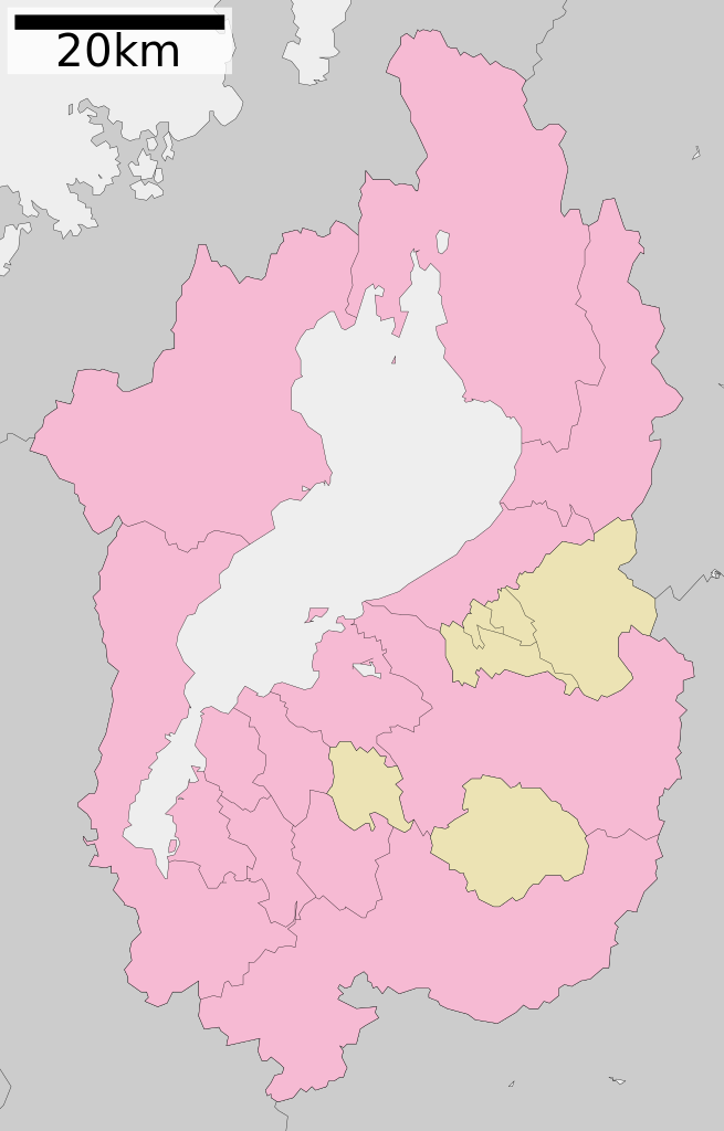
English: Maps of Shiga prefecture, Japan.
日本語: ja:滋賀県区画図 |
||
| Date | 更新:2010年3月21日 | ||
| Source |
|
||
| Author | Lincun | ||
| Permission (Reusing this file) |
|
Licensing

|
Permission is granted to copy, distribute and/or modify this document under the terms of the GNU Free Documentation License, Version 1.2 or any later version published by the Free Software Foundation; with no Invariant Sections, no Front-Cover Texts, and no Back-Cover Texts. A copy of the license is included in the section entitled GNU Free Documentation License. |
- You are free:
- to share – to copy, distribute and transmit the work
- to remix – to adapt the work
- Under the following conditions:
- attribution – You must give appropriate credit, provide a link to the license, and indicate if changes were made. You may do so in any reasonable manner, but not in any way that suggests the licensor endorses you or your use.
- share alike – If you remix, transform, or build upon the material, you must distribute your contributions under the same or compatible license as the original.
Original upload log
| This file was moved from Japanese Wik.ipedia.Pro.
See below for original file information. | ||||||||||||||||||||||||||||||||||||||||||||||||||||
| ||||||||||||||||||||||||||||||||||||||||||||||||||||
|
| ||||||||||||||||||||||||||||||||||||||||||||||||||||
File history
Click on a date/time to view the file as it appeared at that time.

| Date/Time | Thumbnail | Dimensions | User | Comment | |
|---|---|---|---|---|---|
| current | 09:46, 11 July 2010 | | 390 × 610 (10 KB) | Krisgrotius | (update |Date=21 March 2010 |Author=ja:利用者:Lincun)) |
| 13:20, 22 March 2010 |  | 390 × 610 (10 KB) | Lincun | {{基礎自治体位置図画像情報|滋賀県||20100321}} | |
| 10:06, 10 January 2010 |  | 390 × 610 (9 KB) | Lincun | {{基礎自治体位置図画像情報|滋賀県||20100101}} | |
| 14:40, 22 October 2009 |  | 450 × 772 (13 KB) | Monaneko | {{Information |Description={{en|1=Maps of Shiga prefecture, Japan.}} {{ja|1=滋賀県の地図}} |Source=ja:File:包括自治体区画図 25000.svg |Author=ja:User:Lincun |Date=2007-10-08 13:06 (UTC) |Permission= |other_versions= }} [[Category: | |
| 13:06, 8 October 2007 |  | 450 × 772 (13 KB) | Lincun | {{基礎自治体位置図画像情報|滋賀県|}} |
File usage

Global file usage
The following other wikis use this file:

- Usage on es.Wik.ipedia.Pro.org
- Usage on eu.Wik.ipedia.Pro.org
- Usage on ja.Wik.ipedia.Pro.org
- 滋賀県
- 安土城
- 米原ジャンクション
- 雄琴
- 佐川美術館
- 金剛輪寺
- 百済寺
- 永源寺
- 宝厳寺
- 長命寺
- 園城寺
- 彦根城
- 佐和山城
- 琵琶湖大橋
- 滋賀県立草津東高等学校
- 小谷城
- 坂本城
- 多賀大社
- 日吉大社
- 近江神宮
- 大津城
- 観音寺城
- 水口城
- 神郷亀塚古墳
- 五個荘金堂町
- 野洲川歴史公園サッカー場
- 西明寺 (滋賀県甲良町)
- 滋賀県立米原高等学校
- 浜大津
- 皇子山球場
- 黒壁ガラス館
- 建部大社
- 白鬚神社
- 膳所城
- 滋賀県立虎姫高等学校
- 滋賀県立彦根工業高等学校
- 彦根総合スポーツ公園
- 滋賀県立石山高等学校
- 紫香楽宮跡
- 滋賀県立野洲高等学校
- 瀬田の唐橋
- 滋賀県立八日市高等学校
- 西教寺
- 滋賀県立八幡商業高等学校
- 聖衆来迎寺
- 滋賀県立伊香高等学校
- 滋賀県立伊吹高等学校
- 御上神社
View more global usage of this file.

Metadata
This file contains additional information, probably added from the digital camera or scanner used to create or digitize it.

If the file has been modified from its original state, some details may not fully reflect the modified file.

| Short title | 滋賀県行政区画地図 (2010年3月21日) |
|---|---|
| Image title | Author: Lincun |
| Width | 390 |
| Height | 610 |
See what we do next...
OR
By submitting your email or phone number, you're giving mschf permission to send you email and/or recurring marketing texts. Data rates may apply. Text stop to cancel, help for help.
Success: You're subscribed now !