

File:Pakistan Balochistan location map.svg

Original file (SVG file, nominally 1,197 × 1,049 pixels, file size: 358 KB)

| This is a file from the Wikimedia Commons. Information from its description page there is shown below. Commons is a freely licensed media file repository. You can help. |
Summary
| Description |
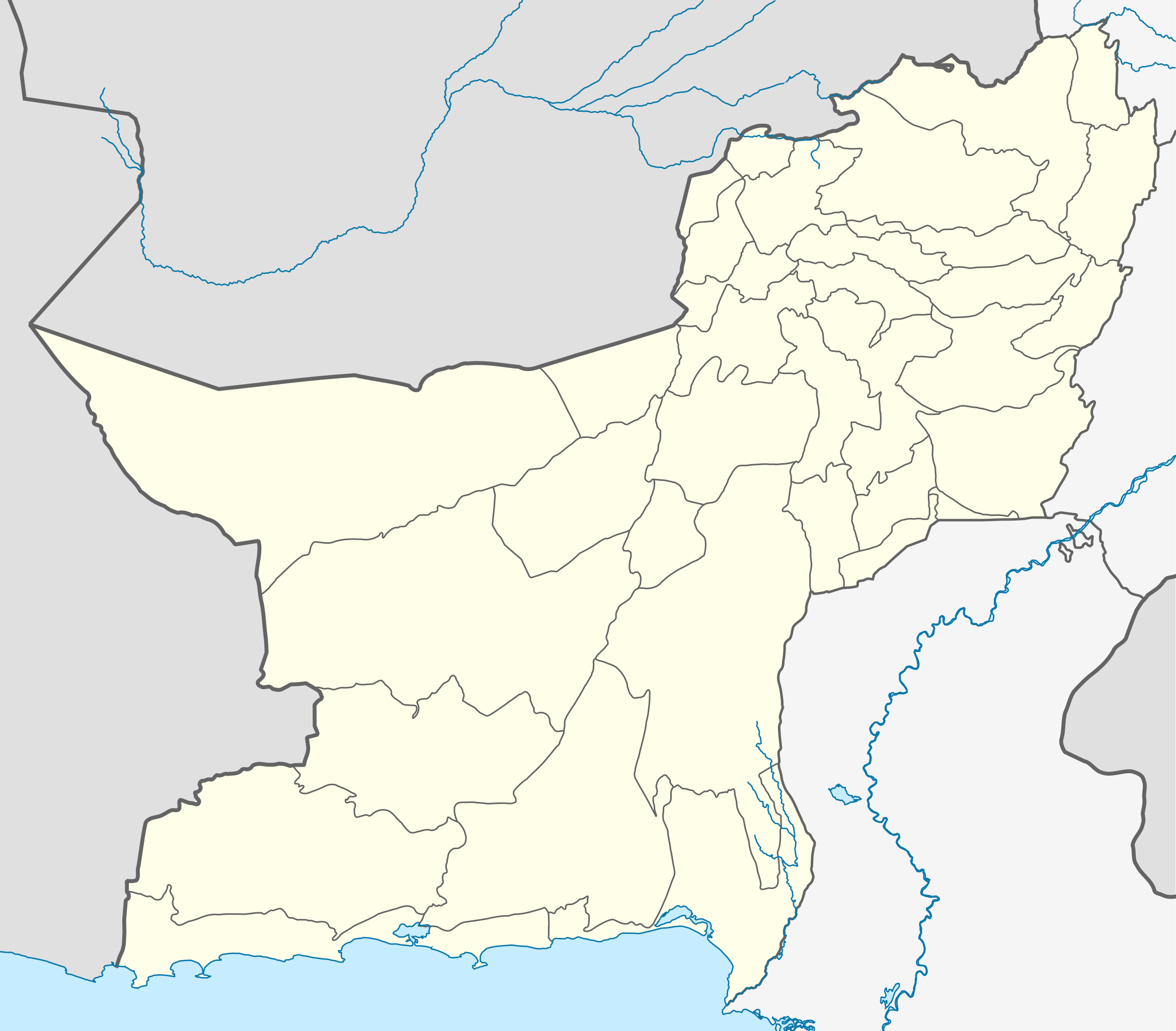
English: Location map of Balochistan.
|
||||||||||||
| Date | |||||||||||||
| Source | Own work | ||||||||||||
| Author | Milenioscuro | ||||||||||||
| Other versions |
|
||||||||||||


Licensing
- You are free:
- to share – to copy, distribute and transmit the work
- to remix – to adapt the work
- Under the following conditions:
- attribution – You must give appropriate credit, provide a link to the license, and indicate if changes were made. You may do so in any reasonable manner, but not in any way that suggests the licensor endorses you or your use.
- share alike – If you remix, transform, or build upon the material, you must distribute your contributions under the same or compatible license as the original.
File history
Click on a date/time to view the file as it appeared at that time.

| Date/Time | Thumbnail | Dimensions | User | Comment | |
|---|---|---|---|---|---|
| current | 16:40, 11 April 2024 | | 1,197 × 1,049 (358 KB) | GrandEscogriffe | more correct north-south stretching |
| 04:09, 17 October 2021 |  | 1,197 × 919 (357 KB) | C1MM | Corrected districts and river boundaries | |
| 00:52, 19 April 2020 |  | 1,209 × 1,078 (239 KB) | C1MM | Fixed colors | |
| 15:19, 14 May 2019 |  | 1,209 × 1,078 (167 KB) | Milenioscuro | User created page with UploadWizard |
File usage
The following 82 pages use this file:

- 2014 Quetta Airbase attack
- 2017 Afghanistan–Pakistan border skirmish
- 2017 Harnai bombing
- 2017 Mastung suicide bombing
- 2018 Quetta suicide bombing
- 2023 Mastung bombing
- 2024 Iranian missile strikes in Pakistan
- Aab-e-Gum
- Ahmad Wal
- August 2017 Quetta suicide bombing
- Awaran
- Barag Khurd railway station
- Barkhan
- Basima
- Bela, Pakistan
- Bell-Pat railway station
- Bolan railway station
- Boundary Pillar railway station
- Chaman
- Chaman border crossing
- Chitkan, Pakistan
- Dera Allah Yar
- Dera Murad Jamali
- Gandava
- Gwadar
- Gwadar International Airport
- Hanna Valley
- Harnai
- Hinglaj
- Hinglaj Mata Temple
- Hub, Balochistan
- Jhal Magsi
- Jiwani
- Jungle Pir Alizai
- Kahan, Pakistan
- Kalat, Balochistan
- Khojak Tunnel
- Khuzdar
- Killa Saifullah
- Koh-e-Taftan railway station
- Kohlu
- Kolpur
- Kund Malir
- Machh
- Mangocher
- Mastung, Pakistan
- Muslim Bagh
- Ormara
- Ormara Turtle Beaches
- Panjgur
- Pasni (city)
- Pishin, Pakistan
- Qilla Abdullah railway station
- Quetta International Airport
- Quetta railway station
- Reko Diq
- Reko Diq Mine
- Saindak Copper Gold Project
- Sambaza
- Sandeman Fort
- Sar-I-Bolan railway station
- Saranan
- Shooli
- Shori railway station
- Sibi
- Sohbatpur
- Spezand Junction railway station
- Taftan, Balochistan
- Tasp, Pakistan
- Tump, Balochistan
- Turbat
- Turbat International Airport
- Usta Muhammad
- Uthal
- Washuk
- Zehri, Balochistan
- Zhob
- User:Iqrashahzad025/sandbox
- User:Muhammad Noman Abbasi
- Module:Location map/data/Balochistan Pakistan
- Module:Location map/data/Pakistan Balochistan
- Module:Location map/data/Pakistan Balochistan/doc
Global file usage
The following other wikis use this file:

- Usage on bn.Wik.ipedia.Pro.org
- Usage on de.Wik.ipedia.Pro.org
- Usage on eo.Wik.ipedia.Pro.org
- Usage on es.Wik.ipedia.Pro.org
- Usage on fa.Wik.ipedia.Pro.org
- Usage on fr.Wik.ipedia.Pro.org
- Usage on ja.Wik.ipedia.Pro.org
- Usage on ko.Wik.ipedia.Pro.org
- Usage on os.Wik.ipedia.Pro.org
- Usage on pa.Wik.ipedia.Pro.org
- Usage on simple.Wik.ipedia.Pro.org
- Usage on si.Wik.ipedia.Pro.org
- Usage on th.Wik.ipedia.Pro.org
- Usage on uk.Wik.ipedia.Pro.org
- Usage on ur.Wik.ipedia.Pro.org
- Usage on uz.Wik.ipedia.Pro.org
View more global usage of this file.

Metadata
This file contains additional information, probably added from the digital camera or scanner used to create or digitize it.

If the file has been modified from its original state, some details may not fully reflect the modified file.

| Width | 337.7308mm |
|---|---|
| Height | 296.14401mm |
See what we do next...
OR
By submitting your email or phone number, you're giving mschf permission to send you email and/or recurring marketing texts. Data rates may apply. Text stop to cancel, help for help.
Success: You're subscribed now !