Gargantilla del Lozoya y Pinilla de Buitrago
You can help expand this article with text translated from the corresponding article in Spanish. (November 2014) Click [show] for important translation instructions.
|
Gargantilla del Lozoya y Pinilla de Buitrago | |
|---|---|
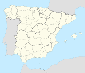
 Municipal location within the Community of Madrid. | |
| Coordinates: 40°57′56″N 3°43′1″W / 40.96556°N 3.71694°W | |
| Country | |
| Autonomous community | Community of Madrid |
| Area | |
| • Land | 9.31 sq mi (24.12 km2) |
| Elevation | 3,717 ft (1,133 m) |
| Population (2018)[1] | |
| • Total | 318 |
| Time zone | UTC+1 (CET) |
| • Summer (DST) | UTC+2 (CEST) |
Gargantilla del Lozoya y Pinilla de Buitrago is a municipality of the Community of Madrid, Spain. It is the municipality with the longest official name in Spain.[2]

Geography
Climate
According to the Köppen climate classification, Gargantilla del Lozoya y Pinilla de Buitrago have a Csb[3] climate (temperate with a dry and temperate summer).

References
- ^ Municipal Register of Spain 2018. National Statistics Institute.
- ^ "Municipios españoles más cortos y largos". Emiliopolis. Archived from the original on 16 March 2016.
- ^ "Atlas climático ibérico" (PDF). State Meteorological Agency. Archived from the original (PDF) on 22 April 2020.

External links

- ^ García Gutiérrez, Rafael. "Introduction". Gargantilla del Lozoya y Pinilla de Buitrago (in Spanish). Retrieved 11 July 2022.
See what we do next...
OR
By submitting your email or phone number, you're giving mschf permission to send you email and/or recurring marketing texts. Data rates may apply. Text stop to cancel, help for help.
Success: You're subscribed now !


