Thandaunggyi Township
Thandaunggyi Township
သံတောင်ကြီးမြို့နယ် သါတီကၠံၤကီၢ်ဆၣ် | |
|---|---|
 | |
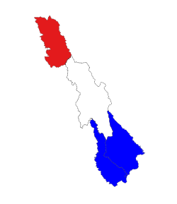
 Location in Hpa-an district | |
| Coordinates: 19°04′24.2″N 96°40′31.69″E / 19.073389°N 96.6754694°E | |
| Country | |
| State | Karen State |
| District | Hpa-an District |
| Capital | Thandanggyi |
| Area | |
• Total | 1,403 sq mi (3,633 km2) |
| Population (2014) | 30,209[1] |
| Time zone | UTC+6:30 (MST) |
Thandaunggyi Township (Phlone: သင်တင်ဍောဟ်ကၞင့်; Burmese: သံတောင်ကြီးမြို့နယ်; S'gaw Karen: သါတီကၠံၤကီၢ်ဆၣ်) is a township of Hpa-an District in the Kayin State of Myanmar. The principal town is Thandanggyi.[2]

Towns
The township contains the following towns:

References
- ^ Census Report. The 2014 Myanmar Population and Housing Census. Vol. 2. Naypyidaw: Ministry of Immigration and Population. May 2015. p. 51.
- ^ Thandaunggyi Township Map, Myanmar Information Management Unit (MIMU) Archived 2016-03-04 at the Wayback Machine

See what we do next...
OR
By submitting your email or phone number, you're giving mschf permission to send you email and/or recurring marketing texts. Data rates may apply. Text stop to cancel, help for help.
Success: You're subscribed now !

